Global Satellite
Imagery Solutions
Official International Distributor of KazEOSat-1 Data
Wasat Technologies is an authorized international partner of JSC NC
Kazakhstan Gharysh Sapary, providing high-resolution satellite data
and advanced geospatial insights from the KazEOSat constellation
Wasat Technologies is an authorized international partner of JSC NC
Kazakhstan Gharysh Sapary, providing high-resolution satellite data
and advanced geospatial insights from the KazEOSat constellation
The Power of KazEOSat-1
Technical specifications of the satellite constellation
1m / 4m
Spatial Resolution
Pan / Multispectral
4 Bands
Spatial Resolution
Pan / Multispectral
20 km
Swath Width
Single pass
2–3 Days
Revisit Time
Global coverage
2–3 Days
Revisit Time
Global coverage
Professional Grade
Data products and processing levels
DATA PRODUCTS
Archive Data
Instant access to the global catalog of historical satellite imagery dating back to 2014.
New Tasking
Urgent and routine collection of new imagery for your specific Area of Interest.
PROCESSING LEVELS
L1 → L5 Formats
From Primary (L1) to Precision Orthorectified (L5) — choose the processing level that fits your workflow.
L1 Primary
L2 Standard
L3 Ortho
L4 Precision
L5 Mosaic
Value-Added Products
Digital Elevation Models (DEM), Orthophotomaps, and Change Detection reports.
How It Works
Simple three-step process from order to delivery
Step 01
Define Area
Provide your Area of Interest (AOI) via KML/SHP or coordinates
Step 02
Feasibility Study
Technical assessment of weather conditions and satellite passes within 3 business days
Step 03
Data Delivery
Receive your imagery via cloud or secure FTP
Industry Applications
Satellite data solutions across sectors
Agriculture
NDVI vegetation indices, crop yield monitoring

Energy & Mining
Infrastructure monitoring, open-pit mine analytics, pipeline surveillance
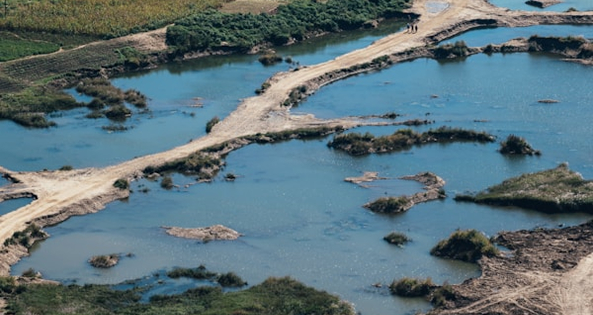
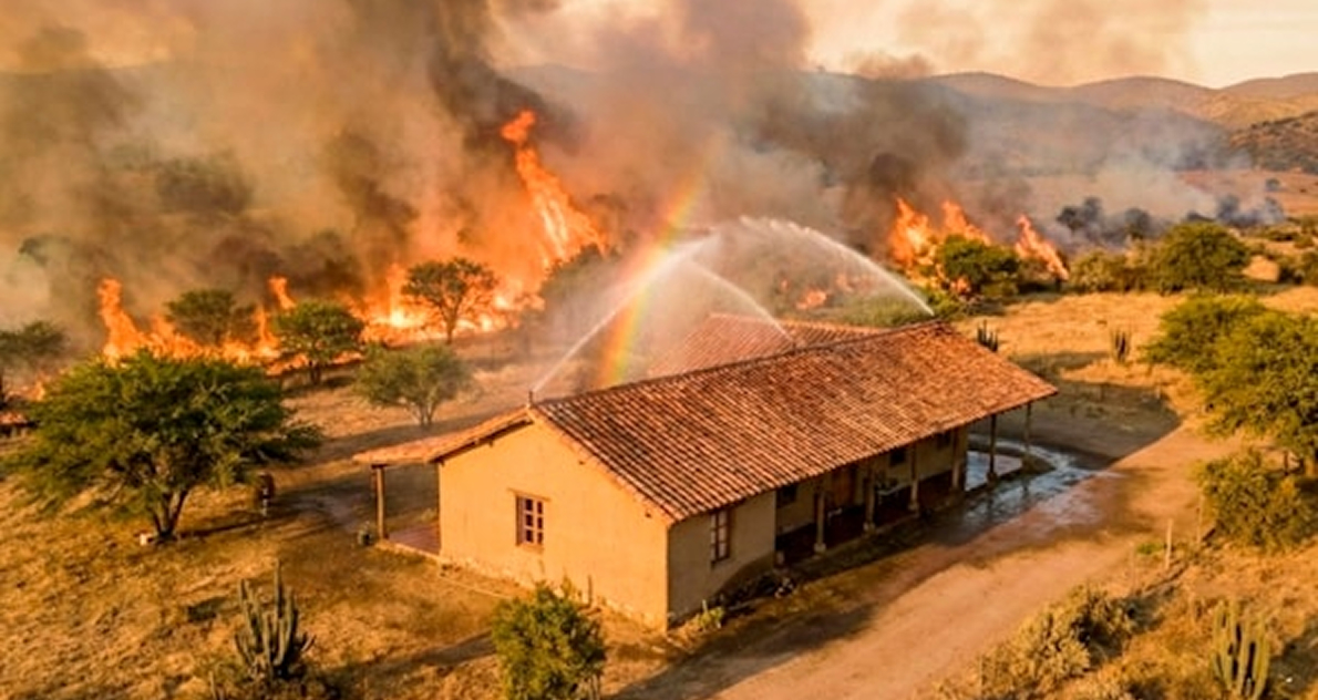
Environmental & Emergency
Flood and wildfire tracking, oil spill detection
Urban Planning & Cadastre
High-precision mapping up to 1:10,000 scale

Request a Technical
Feasibility Study
Free assessment for your project
Thanks for reaching out!
Your request is in.
You'll receive a feasibility report and pricing within 72 hours, completely free of charge.
Your request is in.
You'll receive a feasibility report and pricing within 72 hours, completely free of charge.
Oops! Something went wrong while submitting the form.